

The last few hikes we’ve been on were relatively easy and we are ready for a more challenging hike. We took the Metro North train from Grand Central to Cold Spring. It took us about an hour and half to get there.
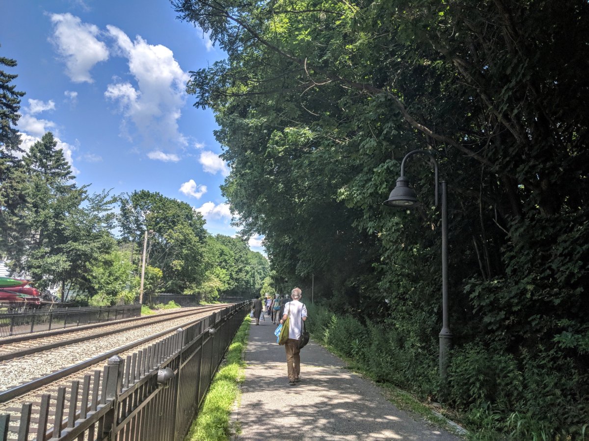
Once we got off the train we walked towards the town. We were on Main Street for a few blocks. The town is very cute and I saw a sign that said “free fudge tasting”. Of course we had to make a stop. I wasn’t planning on buying anything but we ended up with one box of pistachio fudge and one box of chocolate and peanut butter fudge.

We continued on Main Street and turned left on Fair Street. We walked past beautiful field and a pond with mountains in the background. About half a mile down we came to Route 9D. Just before the junction, there’s a beautiful white house with a Willow tree in the back yard. I loved that house.

At Route 9D we made a left turn. Soon after the left turn we saw the visitors center where we picked up a map. Across the street from the visitor center is a parking lot and some Porta potties.

The Washburn trail starts at the end of the parking lot. We followed the blue markers. The hike starts with a relatively steep incline. The trail is shaded which helped. Soon after starting the hike, we came to a quarry.

We walked towards it but there was a very helpful sign on a rock that told us to turn around. The trail is very well marked the whole way.

We continued to follow the white markers. Soon after the quarry the trail gets steep. Given the incline, it was easy for me to lose track of the trail so I tried hard to always keep an eye out for the white markers.

After the quarry, the trail also gets rocky. I had to take frequent breaks on this part of the hike. It hadn’t even been 45 mins since we started and I had already taken 3-4 short breaks.

If we had a nice view, we stopped for a few mins. As we kept climbing, we came across an opening with views of Cold Spring and West Point. From this point, we could see just how small the town of Cold Spring is.


After yet another break, we continued to follow the white markers. The trail becomes less rocky. This part of the trail is also comparatively less steep.

About half way through, we had to decide if we were going to do the short loop or the full loop. We were tired because until now the hike had been all uphill but I was determined to finish the full loop.

We kept on climbing Mt. Taurus until we got to this breathtaking view. This isn’t the highest point in the hike but it definitely was the most beautiful. It’s easy to miss this view of you aren’t looking for it. It was soon after yellow and white marker junction.

We continued to follow the white markers. Soon we saw a few boulders. There is a big boulder in the left blocking the view. That’s where you’ll get this beautiful view! We decided it was the perfect spot for lunch.

One we were energized, we kept following the white markers. A few mins later, we heard some rustling in the woods but it was VERY close. I looked down and saw what I initially thought was a rattle snake. After looking a little more carefully, I was slightly relieved to see it was a black snake.

We walked past the snake very fast and started making noise, hoping that if there were more snakes they would go deeper into the woods. After this, the trail becomes relatively easy. It’s mostly shaded and slopes down.

We followed the white markers for a bit more before we came across the blue markers. We followed the blue markers. The trail at this point wasn’t difficult but it was annoying. Mainly because there were so many mosquitoes. I’d forgotten my bug spray and cursed myself for it.

For some reason all the mosquitoes after in one mile section of the trail. There were hardly any before or after this one part of the trail. Once we got through the mosquito infested part, the hike was very pleasant again.

We started following the red markers for a short time before following blue markers again. On this part of the trail we came across a few old, broken down structures like gazebo, home, and what initially looked like a well.

Old structures are from around 1917 as mentioned in this article. The rest of the hike is easy an we followed blue markers back to the starting point of the trail. We traced our steps back through Cold Spring and took the Metro North train back to Grand Central.

By the end of the day, we had walked/hiked about 9 miles. The hike was challenging, fun and had great views. Next on the list is Breakneck Ridge…
Here are more pictures from this hike


